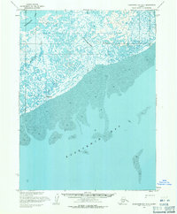
1954 Map of Kuskokwim Bay D-3
USGS Topo · Published 1971About this map
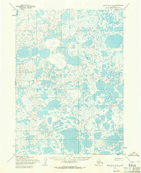
Kuskokwim Bay dominates the southern half of this mid-century coastal survey, where the land and sea meet in a complex network of mudflats and shifting channels. The shoreline is characterized by extensive deposits of Mud, which create a fluctuating boundary between the open water and the low-lying interior. Inland, the landscape is a saturated expanse of wetlands and small ponds, drained by the meandering Kongnignanohk River and the Kwigillingok River.
Find a feature on this map
14 named features on this map. Tap any name to fly to it.
Don’t see what you’re looking for? This feature index may not catch every label — zoom into the map to look around manually.
Map Details
Editions of this 1954 Kuskokwim Bay D-3 Map
This is the sole edition of this map. No revisions or reprints were ever made.
Other maps of this area

1951 · Kuskokwim Bay
USGS Topo · 1:250,000

1951 · Baird Inlet
USGS Topo · 1:250,000
1953 · Kuskokwim Bay D-2
USGS Topo · 1:63,360

1954 · Baird Inlet A-3
USGS Topo · 1:63,360

1954 · Baird Inlet
USGS Topo · 1:250,000

1954 · Kuskokwim Bay
USGS Topo · 1:250,000
1954 · Baird Inlet A-2
USGS Topo · 1:63,360
1954 · Kuskokwim Bay D-4
USGS Topo · 1:63,360
1954 · Baird Inlet A-4
USGS Topo · 1:63,360
2017 · Baird Inlet A-2 SW
USGS Topo · 1:25,000