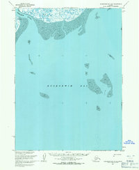
1953 Map of Kuskokwim Bay D-2
USGS Topo · Published 1971About this map
The Ishkowik River flows into the vast tidal flats of Kuskokwim Bay at the edge of the Bering Sea, as documented in this 1950s survey. The landscape is defined by extensive deposits of mud and a network of wetlands that dominate the shoreline. Near the river mouth, the small settlement of Kuivagavik provides a rare point of human habitation in this dynamic coastal environment. A Winter Trail cuts across the tundra north of the river, indicating the seasonal transportation methods required to navigate this remote terrain before modern infrastructure. The map reflects a moment when the U.S. Army Topographic Command and the Geological Survey were utilizing photogrammetric methods to document Alaska’s complex coastline and unsurveyed land lines.
Find a feature on this map
5 named features on this map. Tap any name to fly to it.
Don’t see what you’re looking for? This feature index may not catch every label — zoom into the map to look around manually.
Map Details
Editions of this 1953 Kuskokwim Bay D-2 Map
2 editions found
Other maps of this area

1951 · Kuskokwim Bay
USGS Topo · 1:250,000

1951 · Baird Inlet
USGS Topo · 1:250,000

1954 · Baird Inlet A-3
USGS Topo · 1:63,360

1954 · Baird Inlet
USGS Topo · 1:250,000

1954 · Kuskokwim Bay
USGS Topo · 1:250,000
1954 · Baird Inlet A-1
USGS Topo · 1:63,360
1954 · Kuskokwim Bay D-1
USGS Topo · 1:63,360
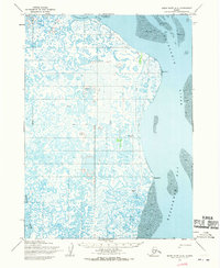
1954 · Baird Inlet A-2
USGS Topo · 1:63,360
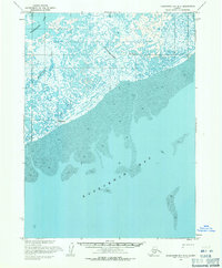
1954 · Kuskokwim Bay D-3
USGS Topo · 1:63,360
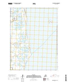
2017 · Baird Inlet A-2 SE
USGS Topo · 1:25,000