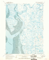
1954 Map of Baird Inlet A-1
USGS Topo · Published 1968About this map
Eek River and the expansive Kuskokwim River delta define this coastal Alaskan landscape, where the tides dictate the movement of water across vast Tidal Flats. At the settlement of Eek, a Seaplane Float and a Cem reflect the specialized infrastructure of this roadless region. The map captures a subsistence-based environment where seasonal movement is evidenced by the Fishing Camp near the Eenayarak River and the presence of a Winter Trail. Navigation follows the winding paths of the Apokak Slough and Kuskokwak Channel, connecting small outposts like Kovak, Apokak, and Kukwak. This 1954 survey provides a look at the predetermined but unsurveyed land lines near Eek Island, showing the transition between maritime and inland life at the edge of Kuskokwim Bay.
Find a feature on this map
28 named features on this map. Tap any name to fly to it.
Don’t see what you’re looking for? This feature index may not catch every label — zoom into the map to look around manually.
Map Details
Editions of this 1954 Baird Inlet A-1 Map
2 editions found
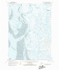
Other maps of this area

1950 · Bethel
USGS Topo · 1:250,000

1951 · Kuskokwim Bay
USGS Topo · 1:250,000

1951 · Goodnews
USGS Topo · 1:250,000

1951 · Baird Inlet
USGS Topo · 1:250,000
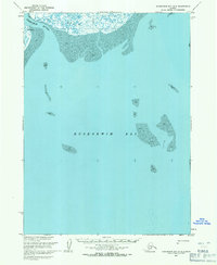
1953 · Kuskokwim Bay D-2
USGS Topo · 1:63,360

1954 · Bethel B-8
USGS Topo · 1:63,360
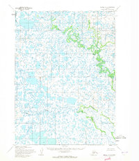
1954 · Bethel A-8
USGS Topo · 1:63,360

1954 · Baird Inlet
USGS Topo · 1:250,000

1954 · Kuskokwim Bay
USGS Topo · 1:250,000

1954 · Baird Inlet B-1
USGS Topo · 1:63,360