
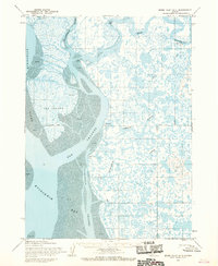
1954 Map of Bethel B-8
USGS Topo · Published 1965About this map
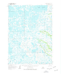
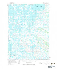
Eek Lake dominates the upper portion of this 1950s landscape, illustrating the intricate, water-logged geography of the Bethel region. The terrain is defined by a complex web of muskeg and tundra, where the Eenayarak River and Eek River meander through an environment largely untouched by permanent settlement or infrastructure. This survey captures the wilderness in its rawest state, reflecting a time when land lines were predetermined by the Bureau of Land Management but remained unsurveyed on the ground.
Find a feature on this map
4 named features on this map. Tap any name to fly to it.
Don’t see what you’re looking for? This feature index may not catch every label — zoom into the map to look around manually.
Map Details
Editions of this 1954 Bethel B-8 Map
3 editions found
Other maps of this area

1950 · Bethel
USGS Topo · 1:250,000

1951 · Baird Inlet
USGS Topo · 1:250,000

1954 · Bethel B-7
USGS Topo · 1:63,360

1954 · Bethel C-8
USGS Topo · 1:63,360
1954 · Bethel C-7
USGS Topo · 1:63,360
1954 · Bethel A-8
USGS Topo · 1:63,360

1954 · Bethel A-7
USGS Topo · 1:63,360

1954 · Baird Inlet
USGS Topo · 1:250,000

1954 · Baird Inlet B-1
USGS Topo · 1:63,360
1954 · Baird Inlet A-1
USGS Topo · 1:63,360