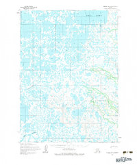
1954 Map of Bethel B-8
USGS Topo · Published 1983About this map
The braided waters of the Eek River and the Eenayarak River dominate this subarctic landscape in the mid-1950s. This survey reveals a complex hydrological network of tundra ponds and interconnected waterways, including the prominent Eek Lake in the northeastern quadrant. Human presence is sparse, marked primarily by a seasonal Winter Trail that cuts through the western terrain and a solitary Cabin located north of the river system. The map represents a specific moment in the mid-century administration of the Alaskan wilderness, utilizing topography derived from 1952 aerial photography and 1954 field annotations. The land lines shown are based on predetermined, unsurveyed locations from the Bureau of Land Management, highlighting the remote and largely undeveloped nature of the region during this era of territorial history.
Find a feature on this map
5 named features on this map. Tap any name to fly to it.
Don’t see what you’re looking for? This feature index may not catch every label — zoom into the map to look around manually.
Map Details
Editions of this 1954 Bethel B-8 Map
3 editions found
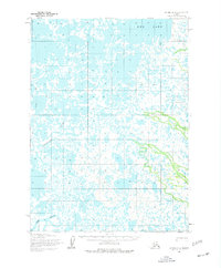
Other maps of this area

1950 · Bethel
USGS Topo · 1:250,000

1951 · Baird Inlet
USGS Topo · 1:250,000

1954 · Bethel B-7
USGS Topo · 1:63,360

1954 · Bethel B-8
USGS Topo · 1:63,360

1954 · Bethel C-8
USGS Topo · 1:63,360
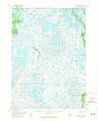
1954 · Bethel C-7
USGS Topo · 1:63,360
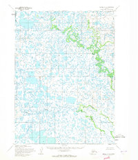
1954 · Bethel A-8
USGS Topo · 1:63,360

1954 · Bethel A-7
USGS Topo · 1:63,360

1954 · Baird Inlet
USGS Topo · 1:250,000

1954 · Baird Inlet B-1
USGS Topo · 1:63,360