
1951 Map of Goodnews
USGS Topo · Published 1953About this map
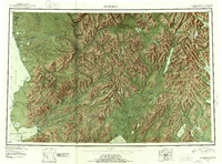
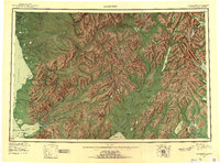
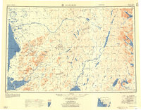
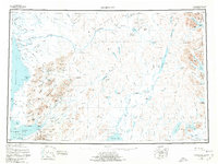
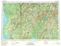
The Kuskokwim Bay and Togiak Bay coastlines define this mid-century survey of southwest Alaska, revealing a landscape of complex tidal inlets and high mountain ranges. Along the northern reaches of the Kanertok River, the settlement of Kwinhagak serves as a primary coastal anchor, while the southern Goodnews Bay features the namesake village of Goodnews near Mumtrak Hill. This era of mapping documents the transition of indigenous and early commercial sites, noting Togiak (Aban'd) and Gechial (Aban'd) alongside active locations like Togiak Village and Kashiagamiut.
Find a feature on this map
86 named features on this map. Tap any name to fly to it.
Don’t see what you’re looking for? This feature index may not catch every label — zoom into the map to look around manually.
Map Details
Editions of this 1951 Goodnews Map
6 editions found
Other maps of this area

1945 · Nushagak Bay
USGS Topo · 1:250,000

1947 · Hagemeister Island D-2
USGS Topo · 1:63,360

1948 · Hagemeister Island D-3
USGS Topo · 1:63,360

1948 · Nushagak Bay D-4
USGS Topo · 1:63,360

1948 · Nushagak Bay D-3
USGS Topo · 1:63,360

1949 · Nushagak Bay
USGS Topo · 1:250,000

1950 · Bethel
USGS Topo · 1:250,000

1950 · Nushagak Bay D-5
USGS Topo · 1:63,360

1950 · Nushagak Bay D-6
USGS Topo · 1:63,360

1950 · Hagemeister Island D-6
USGS Topo · 1:63,360