
1950 Map of Hagemeister Island D-6
USGS Topo · Published 1957About this map
The Goodnews Mining Camp stands as a focal point of industrial activity along the Salmon River during the mid-century, flanked by extensive tailings and a dedicated Landing Strip for remote access. This 1950s documentation of the coastal landscape reveals an economy built around mineral extraction, where a significant Ditch system redirects water from Medicine Creek toward the mining operations nestled between Red Mountain and Thorsen Mountain.
Find a feature on this map
28 named features on this map. Tap any name to fly to it.
Don’t see what you’re looking for? This feature index may not catch every label — zoom into the map to look around manually.
Map Details
Editions of this 1950 Hagemeister Island D-6 Map
This is the sole edition of this map. No revisions or reprints were ever made.
Other maps of this area
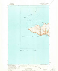
1947 · Hagemeister Island C-7
USGS Topo · 1:63,360

1948 · Hagemeister Island C-6
USGS Topo · 1:63,360

1948 · Hagemeister Island C-5
USGS Topo · 1:63,360

1950 · Hagemeister Island D-5
USGS Topo · 1:63,360

1951 · Kuskokwim Bay
USGS Topo · 1:250,000

1951 · Goodnews
USGS Topo · 1:250,000

1951 · Hagemeister Island
USGS Topo · 1:250,000
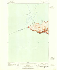
1952 · Hagemeister Island C-7
USGS Topo · 1:63,360

1952 · Hagemeister Island C-6
USGS Topo · 1:63,360
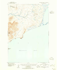
1952 · Hagemeister Island C-5
USGS Topo · 1:63,360