
1952 Map of Hagemeister Island C-6
USGS Topo · Published 1955About this map
Cape Peirce and the surrounding coastline of Southwest Alaska were mapped in detail in the early 1950s using aerial photography and hydrographic surveys. The landscape is defined by the prominent headlands of Chagvan Mountain and Tokomarik Mtn, which separate the waters of Kuskokwim Bay from the protected reach of Security Cove. This coastal region serves as a vital transition point between the open sea and the intricate tidal systems found near Nanvak Bay, where extensive mud flats are noted.
Find a feature on this map
14 named features on this map. Tap any name to fly to it.
Don’t see what you’re looking for? This feature index may not catch every label — zoom into the map to look around manually.
Map Details
Editions of this 1952 Hagemeister Island C-6 Map
This is the sole edition of this map. No revisions or reprints were ever made.
Other maps of this area
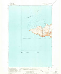
1947 · Hagemeister Island C-7
USGS Topo · 1:63,360

1948 · Hagemeister Island C-6
USGS Topo · 1:63,360

1948 · Hagemeister Island C-5
USGS Topo · 1:63,360

1950 · Hagemeister Island D-6
USGS Topo · 1:63,360

1950 · Hagemeister Island D-5
USGS Topo · 1:63,360

1951 · Hagemeister Island
USGS Topo · 1:250,000
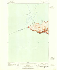
1952 · Hagemeister Island C-7
USGS Topo · 1:63,360
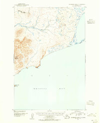
1952 · Hagemeister Island C-5
USGS Topo · 1:63,360

1954 · Hagemeister Island D-5
USGS Topo · 1:63,360

1957 · Hagemeister Island
USGS Topo · 1:250,000