
1948 Map of Hagemeister Island C-6
USGS Topo · Published 1963About this map
Cape Peirce stands as a prominent sentinel where the waters of Bristol Bay and Kuskokwim Bay meet, anchoring a coastal landscape defined by steep headlands and protected inlets. This 1948 survey, based on aerial photography and maritime data from the U.S. Coast and Geodetic Survey, reveals a wilderness environment devoid of roads or permanent settlements. The terrain rises sharply from the shore to peaks like Chagvan Mountain and Tokomanik Mtn, while the coastline is notched by the deep recess of Security Cove. The intricate drainage of the Slug River feeds into Nanvak Bay, protected from the open sea by a series of narrow sand spits. This map captures the region in its raw, mid-century state, documenting isolated maritime landmarks such as Castle Rock and Pinnacle Rock that have served as navigational aids for generations of mariners along this part of the Alaska coast.
Find a feature on this map
12 named features on this map. Tap any name to fly to it.
Don’t see what you’re looking for? This feature index may not catch every label — zoom into the map to look around manually.
Map Details
Editions of this 1948 Hagemeister Island C-6 Map
This is the sole edition of this map. No revisions or reprints were ever made.
Other maps of this area
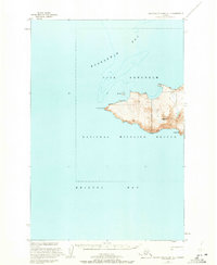
1947 · Hagemeister Island C-7
USGS Topo · 1:63,360

1948 · Hagemeister Island C-5
USGS Topo · 1:63,360

1950 · Hagemeister Island D-6
USGS Topo · 1:63,360

1950 · Hagemeister Island D-5
USGS Topo · 1:63,360

1951 · Hagemeister Island
USGS Topo · 1:250,000
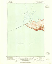
1952 · Hagemeister Island C-7
USGS Topo · 1:63,360

1952 · Hagemeister Island C-6
USGS Topo · 1:63,360
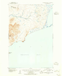
1952 · Hagemeister Island C-5
USGS Topo · 1:63,360

1954 · Hagemeister Island D-5
USGS Topo · 1:63,360

1957 · Hagemeister Island
USGS Topo · 1:250,000