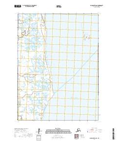
2017 Map of Baird Inlet A-2 SE
USGS Topo · Published 2017About this map
Kuskovak and the tidal reaches of the Kuskokwim River define this coastal landscape on the edge of the Pacific Ocean within the Bethel Census Area. The map reveals an intricate network of wetlands and small water bodies that characterize the delta region, where land and water merge in a complex pattern typical of southwestern Alaska. Surveyed in the 2010s, the map documents the Public Land Survey System grids for t1s r77w, t1s r76w, and t2s r77w, providing a precise record of the shoreline and hydrography. The absence of roads or permanent settlements within these townships emphasizes the region's reliance on river and maritime access.
Find a feature on this map
6 named features on this map. Tap any name to fly to it.
Don’t see what you’re looking for? This feature index may not catch every label — zoom into the map to look around manually.
Map Details
Editions of this 2017 Baird Inlet A-2 SE Map
This is the sole edition of this map. No revisions or reprints were ever made.
Other maps of this area

1951 · Kuskokwim Bay
USGS Topo · 1:250,000

1951 · Baird Inlet
USGS Topo · 1:250,000
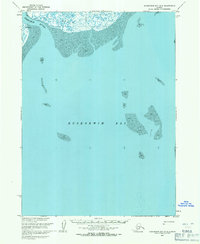
1953 · Kuskokwim Bay D-2
USGS Topo · 1:63,360

1954 · Baird Inlet
USGS Topo · 1:250,000

1954 · Kuskokwim Bay
USGS Topo · 1:250,000
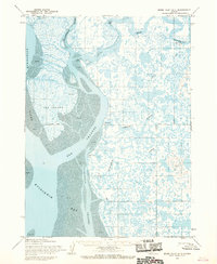
1954 · Baird Inlet A-1
USGS Topo · 1:63,360
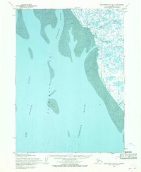
1954 · Kuskokwim Bay D-1
USGS Topo · 1:63,360
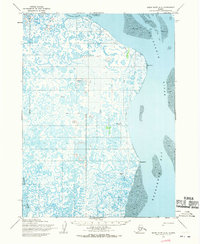
1954 · Baird Inlet A-2
USGS Topo · 1:63,360
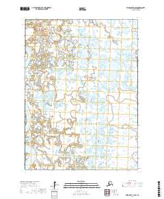
2017 · Baird Inlet A-2 SW
USGS Topo · 1:25,000
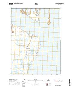
2017 · Baird Inlet A-2 NE
USGS Topo · 1:25,000