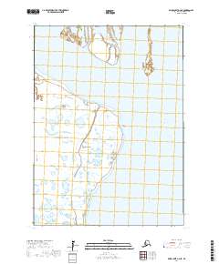
2017 Map of Baird Inlet A-2 NE
USGS Topo · Published 2017About this map
Kuskokwim River defines the eastern boundary of this landscape in the Bethel Census Area. The terrain is characterized by a dense network of wetlands and small water bodies that cover the western half of the quadrangle, illustrating the complex hydrology of the Yukon-Kuskokwim Delta. Along the edge of this saturated plain lies West Point, a subtle landmark in an area otherwise dominated by the shifting margins of river and marsh. Surveyed and updated with data through 2017, the map shows the precise township and range boundaries including t1n r76w and t2n r76w, which provide essential reference points for land claims and historical research in this undeveloped region of Alaska.
Find a feature on this map
6 named features on this map. Tap any name to fly to it.
Don’t see what you’re looking for? This feature index may not catch every label — zoom into the map to look around manually.
Map Details
Editions of this 2017 Baird Inlet A-2 NE Map
This is the sole edition of this map. No revisions or reprints were ever made.
Other maps of this area

1951 · Baird Inlet
USGS Topo · 1:250,000

1954 · Baird Inlet
USGS Topo · 1:250,000

1954 · Baird Inlet B-1
USGS Topo · 1:63,360
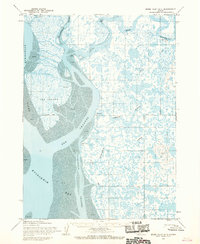
1954 · Baird Inlet A-1
USGS Topo · 1:63,360
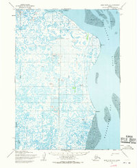
1954 · Baird Inlet A-2
USGS Topo · 1:63,360
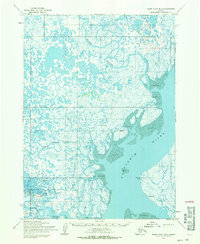
1954 · Baird Inlet B-2
USGS Topo · 1:63,360
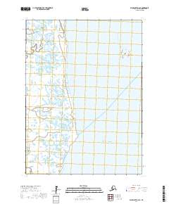
2017 · Baird Inlet A-2 SE
USGS Topo · 1:25,000
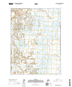
2017 · Baird Inlet A-2 SW
USGS Topo · 1:25,000
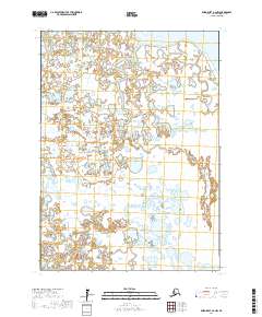
2017 · Baird Inlet A-2 NW
USGS Topo · 1:25,000
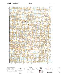
2017 · Baird Inlet B-2 SW
USGS Topo · 1:25,000