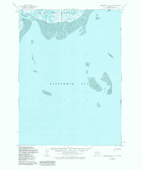
1953 Map of Kuskokwim Bay D-2
USGS Topo · Published 1984About this map
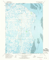
Kulvagavik sits along the northern edge of this coastal landscape, situated where the Ishkowik River meets the expansive tidal flats of the Yukon Delta National Wildlife Refuge. The map reveals a dynamic environment of transition, where the freshwater output of the river system reaches the saltwater of Kuskokwim Bay. Large expanses of mud flats and numerous unnamed water bodies characterize the geography, reflecting the shifting nature of the Alaska coastline.
Find a feature on this map
7 named features on this map. Tap any name to fly to it.
Don’t see what you’re looking for? This feature index may not catch every label — zoom into the map to look around manually.
Map Details
Editions of this 1953 Kuskokwim Bay D-2 Map
2 editions found
Other maps of this area

1951 · Kuskokwim Bay
USGS Topo · 1:250,000

1951 · Baird Inlet
USGS Topo · 1:250,000
1953 · Kuskokwim Bay D-2
USGS Topo · 1:63,360

1954 · Baird Inlet A-3
USGS Topo · 1:63,360

1954 · Baird Inlet
USGS Topo · 1:250,000

1954 · Kuskokwim Bay
USGS Topo · 1:250,000
1954 · Baird Inlet A-1
USGS Topo · 1:63,360
1954 · Kuskokwim Bay D-1
USGS Topo · 1:63,360
1954 · Baird Inlet A-2
USGS Topo · 1:63,360
1954 · Kuskokwim Bay D-3
USGS Topo · 1:63,360