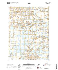
2017 Map of Baird Inlet A-3 SE
USGS Topo · Published 2017About this map
The Ishkowik River and Kongnignanohk River define this remote expanse of the Yukon-Kuskokwim Delta, where water dominates the geography. This 2017 survey shows a highly complex network of interconnected wetlands, ponds, and seasonal sloughs that shift and transform across the flat coastal tundra. The area is marked by its position within the t1s r79w and t1s r78w townships, illustrating a landscape where drainage patterns are the primary geographical features. The absence of permanent roads or settlements highlights the isolation of this riverine environment, where the winding course of the Ishkowik River provides a vital corridor through the labyrinthine wetlands of the Bethel Census Area.
Find a feature on this map
6 named features on this map. Tap any name to fly to it.
Don’t see what you’re looking for? This feature index may not catch every label — zoom into the map to look around manually.
Map Details
Editions of this 2017 Baird Inlet A-3 SE Map
This is the sole edition of this map. No revisions or reprints were ever made.
Other maps of this area

1951 · Kuskokwim Bay
USGS Topo · 1:250,000

1951 · Baird Inlet
USGS Topo · 1:250,000
1953 · Kuskokwim Bay D-2
USGS Topo · 1:63,360

1954 · Baird Inlet A-3
USGS Topo · 1:63,360

1954 · Baird Inlet
USGS Topo · 1:250,000

1954 · Kuskokwim Bay
USGS Topo · 1:250,000
1954 · Baird Inlet A-2
USGS Topo · 1:63,360
1954 · Kuskokwim Bay D-3
USGS Topo · 1:63,360
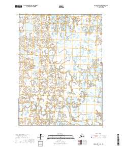
2017 · Baird Inlet A-3 NE
USGS Topo · 1:25,000
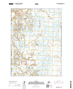
2017 · Baird Inlet A-2 SW
USGS Topo · 1:25,000