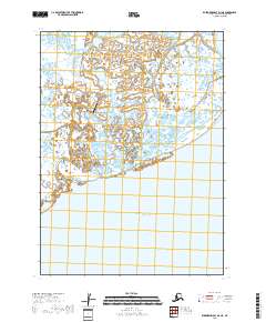
2018 Map of Kuskokwim Bay D-3 NE
USGS Topo · Published 2018About this map
Kongiganak occupies a narrow stretch of land in the Yukon-Kuskokwim Delta, where the Kongiganak River winds through a landscape dominated by marsh and wetlands before reaching the Pacific Ocean. This 2018 survey documents the vital infrastructure of this coastal community, including the Kongiganak Airport which provides essential connectivity to this remote portion of the Bethel Census Area. The map reflects a landscape shaped by shifting water channels and the influence of the tides, with the vast expanse of the ocean bordering the southern reach of the township lines. The spatial relationship between the village and its river access highlights the community's orientation toward the water, even as modern aviation serves as a primary link to the outside world.
Find a feature on this map
8 named features on this map. Tap any name to fly to it.
Don’t see what you’re looking for? This feature index may not catch every label — zoom into the map to look around manually.
Map Details
Editions of this 2018 Kuskokwim Bay D-3 NE Map
This is the sole edition of this map. No revisions or reprints were ever made.
Other maps of this area

1951 · Kuskokwim Bay
USGS Topo · 1:250,000

1951 · Baird Inlet
USGS Topo · 1:250,000
1953 · Kuskokwim Bay D-2
USGS Topo · 1:63,360

1954 · Baird Inlet A-3
USGS Topo · 1:63,360

1954 · Baird Inlet
USGS Topo · 1:250,000

1954 · Kuskokwim Bay
USGS Topo · 1:250,000
1954 · Baird Inlet A-2
USGS Topo · 1:63,360
1954 · Kuskokwim Bay D-3
USGS Topo · 1:63,360
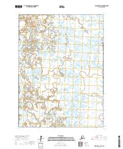
2017 · Baird Inlet A-2 SW
USGS Topo · 1:25,000
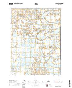
2017 · Baird Inlet A-3 SE
USGS Topo · 1:25,000