
1954 Map of Baird Inlet B-6
USGS Topo · Published 1971About this map
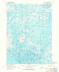
Clarence Rhode National Wildlife Range Area dominates this mid-century landscape in the Bethel region, illustrating a labyrinthine network of tundra lakes and coastal waterways. The map is defined by an intricate aquatic geography, where the expansive Dall Lake and Kegum Kagati Lake are connected by a web of unnamed ponds and streams. In the southwest, the Kinia River and Keguk River meander through the marshy terrain. Historical interest centers on Sfaganuk (Site), marked as a former settlement or seasonal location along the western edge of the sheet. Based on aerial photography from the 1950s, this survey provides a precise record of the shoreline and hydrological patterns before modern climate shifts altered these sensitive Arctic wetlands.
Find a feature on this map
6 named features on this map. Tap any name to fly to it.
Don’t see what you’re looking for? This feature index may not catch every label — zoom into the map to look around manually.
Map Details
Editions of this 1954 Baird Inlet B-6 Map
This is the sole edition of this map. No revisions or reprints were ever made.
Other maps of this area

1951 · Baird Inlet
USGS Topo · 1:250,000
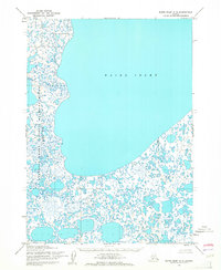
1953 · Baird Inlet C-5
USGS Topo · 1:63,360
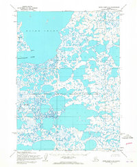
1953 · Baird Inlet C-6
USGS Topo · 1:63,360

1953 · Baird Inlet B-5
USGS Topo · 1:63,360

1954 · Baird Inlet C-7
USGS Topo · 1:63,360
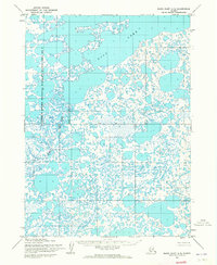
1954 · Baird Inlet A-5
USGS Topo · 1:63,360

1954 · Baird Inlet
USGS Topo · 1:250,000

1954 · Baird Inlet B-7
USGS Topo · 1:63,360
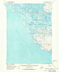
1954 · Baird Inlet A-7
USGS Topo · 1:63,360
1954 · Baird Inlet A-6
USGS Topo · 1:63,360