
1954 Map of Baird Inlet C-7
USGS Topo · Published 1965About this map
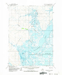
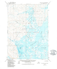
Clarence Rhode National Wildlife Range Area No 2 dominates the southern landscape of this mid-century survey, illustrating a coastal Alaskan wilderness defined by a complex network of waterways. The massive Kolavinarak River serves as the central artery, fed by tributaries such as the Urumangnak River and Talaghun River. This hydrology creates a labyrinth of ponds and marshes surrounding Kinarak Lake and the Amadens Creek drainage. To the north, the Nyctea Hills provide a rare vertical contrast to the low-lying tundra, while the Isiktok Creek and Chakchak Creek wind toward the eastern shoreline of Baird Inlet. This map documents a period before modern infrastructure, where Emperor Island remains a distinct landmark in an environment shaped entirely by its river systems and seasonal water levels.
Find a feature on this map
12 named features on this map. Tap any name to fly to it.
Don’t see what you’re looking for? This feature index may not catch every label — zoom into the map to look around manually.
Map Details
Editions of this 1954 Baird Inlet C-7 Map
3 editions found
Other maps of this area

1951 · Baird Inlet
USGS Topo · 1:250,000
1953 · Baird Inlet C-6
USGS Topo · 1:63,360

1954 · Baird Inlet D-6
USGS Topo · 1:63,360

1954 · Baird Inlet D-7
USGS Topo · 1:63,360

1954 · Baird Inlet
USGS Topo · 1:250,000

1954 · Baird Inlet B-6
USGS Topo · 1:63,360

1954 · Baird Inlet B-7
USGS Topo · 1:63,360

1954 · Baird Inlet C-8
USGS Topo · 1:63,360

1954 · Baird Inlet D-8
USGS Topo · 1:63,360

1954 · Baird Inlet B-8
USGS Topo · 1:63,360