
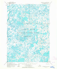
1954 Map of Baird Inlet D-6
USGS Topo · Published 1963About this map
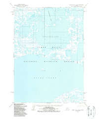
Kagalurpak Lake dominates this landscape of the Yukon-Kuskokwim Delta, appearing as a massive body of water surrounded by a complex network of thousands of small tundra ponds and interconnecting waterways. This mid-century survey by the Army Map Service details a portion of the Clarence Rhode National Wildlife Range Area No 1, reflecting a period when federal conservation efforts were becoming more formalized in the Alaska Territory. The southern portion of the map transitions into the tidal waters of Baird Inlet, showing the intricate shoreline and the Clarence Rhode National Wildlife Range Area No 2. The map provides an exacting record of a highly fluid environment where water and land are nearly indistinguishable, offering essential data for understanding the historical hydrology of this subarctic wetland prior to more recent climatic changes.
Find a feature on this map
4 named features on this map. Tap any name to fly to it.
Don’t see what you’re looking for? This feature index may not catch every label — zoom into the map to look around manually.
Map Details
Editions of this 1954 Baird Inlet D-6 Map
2 editions found
Other maps of this area

1951 · Marshall
USGS Topo · 1:250,000

1951 · Baird Inlet
USGS Topo · 1:250,000
1953 · Marshall A-5
USGS Topo · 1:63,360
1953 · Baird Inlet C-5
USGS Topo · 1:63,360

1953 · Baird Inlet D-5
USGS Topo · 1:63,360
1953 · Baird Inlet C-6
USGS Topo · 1:63,360

1954 · Marshall A-6
USGS Topo · 1:63,360
1954 · Marshall A-7
USGS Topo · 1:63,360

1954 · Baird Inlet C-7
USGS Topo · 1:63,360

1954 · Baird Inlet D-7
USGS Topo · 1:63,360