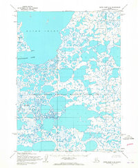
1953 Map of Baird Inlet C-6
USGS Topo · Published 1965About this map
Baird Inlet dominates this coastal landscape, which was mapped by the Army Map Service using aerial photography from the early 1950s. The terrain is characterized by a dense network of countless small ponds and lakes within the Clarence Rhode National Wildlife Range Area No 2, indicating a complex wetland ecosystem where water and land are nearly indistinguishable. On the western edge, the eastern reaches of Nelson Island and the prominent Kalarvik Pt mark the transition toward the Bering Sea. The sluggish Kolavinarak River and Amadene Creek wind through this flat expanse, illustrating a landscape primarily shaped by tidal influence and drainage patterns. Because this survey was compiled before extensive modern development, it provides a precise record of the natural hydrology and unsurveyed land lines as predetermined by the Bureau of Land Management.
Find a feature on this map
6 named features on this map. Tap any name to fly to it.
Don’t see what you’re looking for? This feature index may not catch every label — zoom into the map to look around manually.
Map Details
Editions of this 1953 Baird Inlet C-6 Map
2 editions found
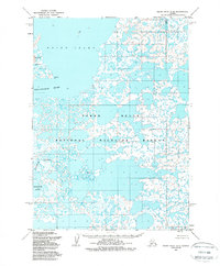
Other maps of this area

1951 · Baird Inlet
USGS Topo · 1:250,000
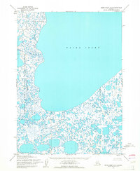
1953 · Baird Inlet C-5
USGS Topo · 1:63,360

1953 · Baird Inlet D-5
USGS Topo · 1:63,360

1953 · Baird Inlet B-5
USGS Topo · 1:63,360

1954 · Baird Inlet D-6
USGS Topo · 1:63,360

1954 · Baird Inlet C-7
USGS Topo · 1:63,360

1954 · Baird Inlet D-7
USGS Topo · 1:63,360

1954 · Baird Inlet
USGS Topo · 1:250,000

1954 · Baird Inlet B-6
USGS Topo · 1:63,360

1954 · Baird Inlet B-7
USGS Topo · 1:63,360