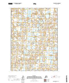
2020 Map of Baird Inlet C-4 SE
USGS Topo · Published 2020About this map
The Chikuwuguhlik River winds through this expanse of the Yukon-Kuskokwim Delta, defining a landscape dominated by complex hydrography and wetland systems. This 2020 survey illustrates a region where water and land are nearly indistinguishable, with the river serving as the primary geographic reference point across the surveyed townships of T6n R80w and T6n R79w. The absence of roads or permanent settlements highlights the environmental character of the Bethel Census Area, where the shifting patterns of the river and countless unnamed ponds dictate the local geography. Mapping of these remote sections provides essential data on the hydrologic structure of the Baird Inlet region, preserving the exact coordinates of this water-bound territory.
Find a feature on this map
5 named features on this map. Tap any name to fly to it.
Don’t see what you’re looking for? This feature index may not catch every label — zoom into the map to look around manually.
Map Details
Editions of this 2020 Baird Inlet C-4 SE Map
This is the sole edition of this map. No revisions or reprints were ever made.
Other maps of this area

1951 · Baird Inlet
USGS Topo · 1:250,000

1954 · Baird Inlet
USGS Topo · 1:250,000
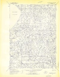
1954 · Baird Inlet C-4
USGS Topo · 1:63,360
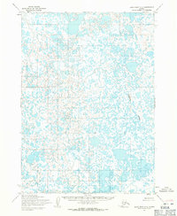
1954 · Baird Inlet C-3
USGS Topo · 1:63,360

1954 · Baird Inlet B-3
USGS Topo · 1:63,360
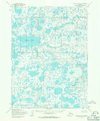
1954 · Baird Inlet B-4
USGS Topo · 1:63,360
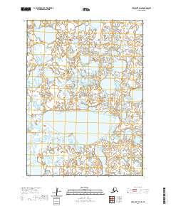
2020 · Baird Inlet B-4 NW
USGS Topo · 1:25,000
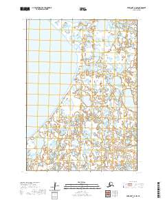
2020 · Baird Inlet C-4 NW
USGS Topo · 1:25,000
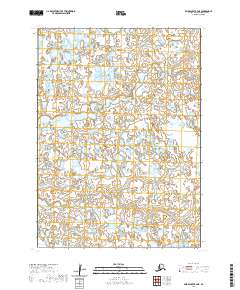
2020 · Baird Inlet B-4 NE
USGS Topo · 1:25,000
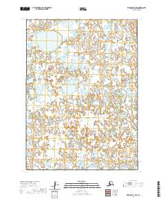
2020 · Baird Inlet C-4 SW
USGS Topo · 1:25,000