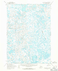
1954 Map of Baird Inlet C-3
USGS Topo · Published 1971About this map
Meroyuk River dominates the eastern reaches of this watery landscape in the Yukon-Kuskokwim Delta region. Mapped by the Army Map Service using aerial photography from the early 1950s, the terrain is characterized by an intricate network of countless unnamed lakes and ponds, reflecting a highly saturated environment before extensive modern development or significant shifts in the regional hydrology. The Bureau of Land Management predetermined land lines for this area, though they remained unsurveyed and unmarked on the ground at the time of publication. This particular survey represents a period of systematic mapping in remote Alaska, where the reliance on photogrammetric methods allowed for the documentation of complex drainage patterns and tundra features that were difficult to survey by foot.
Find a feature on this map
1 named feature on this map. Tap any name to fly to it.
Don’t see what you’re looking for? This feature index may not catch every label — zoom into the map to look around manually.
Map Details
Editions of this 1954 Baird Inlet C-3 Map
This is the sole edition of this map. No revisions or reprints were ever made.
Other maps of this area

1951 · Baird Inlet
USGS Topo · 1:250,000

1954 · Baird Inlet
USGS Topo · 1:250,000
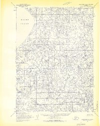
1954 · Baird Inlet C-4
USGS Topo · 1:63,360
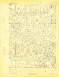
1954 · Baird Inlet C-2
USGS Topo · 1:63,360

1954 · Baird Inlet B-3
USGS Topo · 1:63,360
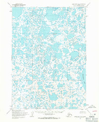
1954 · Baird Inlet D-3
USGS Topo · 1:63,360
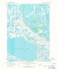
1954 · Baird Inlet D-2
USGS Topo · 1:63,360
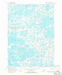
1954 · Baird Inlet D-4
USGS Topo · 1:63,360
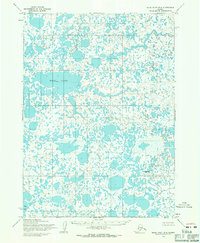
1954 · Baird Inlet B-4
USGS Topo · 1:63,360
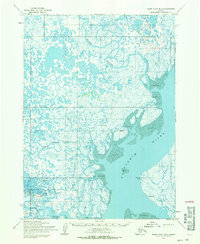
1954 · Baird Inlet B-2
USGS Topo · 1:63,360