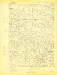
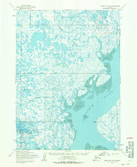
1954 Map of Baird Inlet C-2
USGS Topo · Published 1970About this map
Kutchun River meanders through a labyrinth of small lakes and marshland in this mid-century survey of the Baird Inlet region. The landscape is characterized by a high density of water bodies, including the significant Nunavakpak L at the northern edge. This survey, compiled from 1952 aerial photography and annotated in 1954, reveals a remote subarctic delta environment where the Meroyuk River and its tributaries define the drainage patterns of the Seward Meridian. The land lines shown represent unsurveyed and unmarked locations predetermined by the Bureau of Land Management, reflecting the frontier status of the territory during the transition toward statehood. The absence of roads or established trails highlights the reliance on waterways for navigation across this complex hydrologic network.
Find a feature on this map
3 named features on this map. Tap any name to fly to it.
Don’t see what you’re looking for? This feature index may not catch every label — zoom into the map to look around manually.
Map Details
Editions of this 1954 Baird Inlet C-2 Map
3 editions found
Other maps of this area

1951 · Baird Inlet
USGS Topo · 1:250,000

1954 · Baird Inlet
USGS Topo · 1:250,000

1954 · Baird Inlet B-1
USGS Topo · 1:63,360
1954 · Baird Inlet C-1
USGS Topo · 1:63,360
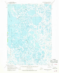
1954 · Baird Inlet D-1
USGS Topo · 1:63,360
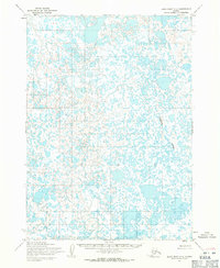
1954 · Baird Inlet C-3
USGS Topo · 1:63,360

1954 · Baird Inlet B-3
USGS Topo · 1:63,360
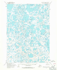
1954 · Baird Inlet D-3
USGS Topo · 1:63,360
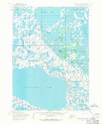
1954 · Baird Inlet D-2
USGS Topo · 1:63,360
1954 · Baird Inlet B-2
USGS Topo · 1:63,360