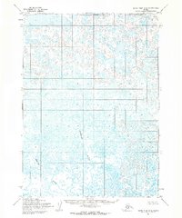
1954 Map of Baird Inlet C-2
USGS Topo · Published 1971About this map
Nunavakpak L dominates the northern reaches of this landscape, part of a dense network of water bodies and wetlands in the Yukon-Kuskokwim Delta region. The Kutukhun River and Meroyuk River snake through the terrain, illustrating the intricate, shifting drainage patterns characteristic of this low-lying Alaskan coastal plain. Based on aerial photography from 1952, this survey records a wilderness devoid of established roads or permanent settlements at the time of mapping. The land lines shown here represent unsurveyed locations predetermined by the Bureau of Land Management, reflecting the logistical challenges of formalizing property and administrative boundaries in such a water-saturated environment.
Find a feature on this map
3 named features on this map. Tap any name to fly to it.
Don’t see what you’re looking for? This feature index may not catch every label — zoom into the map to look around manually.
Map Details
Editions of this 1954 Baird Inlet C-2 Map
3 editions found
Other maps of this area

1951 · Baird Inlet
USGS Topo · 1:250,000

1954 · Baird Inlet
USGS Topo · 1:250,000

1954 · Baird Inlet B-1
USGS Topo · 1:63,360
1954 · Baird Inlet C-1
USGS Topo · 1:63,360
1954 · Baird Inlet D-1
USGS Topo · 1:63,360
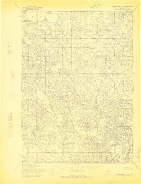
1954 · Baird Inlet C-2
USGS Topo · 1:63,360
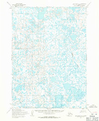
1954 · Baird Inlet C-3
USGS Topo · 1:63,360

1954 · Baird Inlet B-3
USGS Topo · 1:63,360
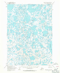
1954 · Baird Inlet D-3
USGS Topo · 1:63,360
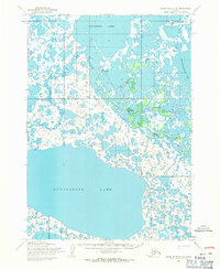
1954 · Baird Inlet D-2
USGS Topo · 1:63,360