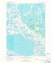
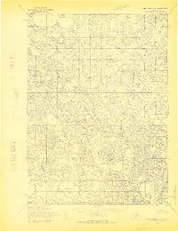
1954 Map of Baird Inlet D-2
USGS Topo · Published 1971About this map
Kasigluk and Nunapitchuk occupy a complex aquatic landscape in the Yukon-Kuskokwim Delta, where the meandering Johnson River weaves through a labyrinth of tundra ponds and larger water bodies. This 1950s survey captures the seasonal mobility of the region, specifically noted by the presence of a Winter Trail cutting across the northern reaches near Kyigayalik Lake.
Find a feature on this map
10 named features on this map. Tap any name to fly to it.
Don’t see what you’re looking for? This feature index may not catch every label — zoom into the map to look around manually.
Map Details
Editions of this 1954 Baird Inlet D-2 Map
2 editions found
Other maps of this area

1951 · Marshall
USGS Topo · 1:250,000

1951 · Baird Inlet
USGS Topo · 1:250,000

1954 · Marshall A-2
USGS Topo · 1:63,360

1954 · Marshall A-3
USGS Topo · 1:63,360

1954 · Marshall A-1
USGS Topo · 1:63,360

1954 · Marshall
USGS Topo · 1:250,000

1954 · Baird Inlet
USGS Topo · 1:250,000
1954 · Baird Inlet C-1
USGS Topo · 1:63,360
1954 · Baird Inlet D-1
USGS Topo · 1:63,360
1954 · Baird Inlet C-2
USGS Topo · 1:63,360