
1954 Map of Marshall A-1
USGS Topo · Published 1964About this map
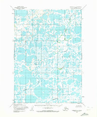
Kvichavak River meanders through the marshy lowlands of the Yukon-Kuskokwim Delta, defining the hydrology of this subarctic landscape during the mid-1950s. The map illustrates a complex network of thousands of small, unmapped ponds and lakes that dominate the interior of the quadrangle. Significant watercourses such as the Tundra River cut through the terrain, showing the serpentine drainage patterns characteristic of the region before modern development. Mapped by the Army Map Service using aerial photography from 1951 and 1952, the sheet serves as a primary record of the hydrographic state of the Bethel area during an era of limited ground survey, when the natural flow of these river systems remained largely undisturbed.
Find a feature on this map
2 named features on this map. Tap any name to fly to it.
Don’t see what you’re looking for? This feature index may not catch every label — zoom into the map to look around manually.
Map Details
Editions of this 1954 Marshall A-1 Map
2 editions found
Other maps of this area

1947 · Russian Mission
USGS Topo · 1:250,000

1950 · Russian Mission
USGS Topo · 1:250,000

1950 · Bethel
USGS Topo · 1:250,000

1951 · Marshall
USGS Topo · 1:250,000

1951 · Baird Inlet
USGS Topo · 1:250,000

1952 · Russian Mission B-8
USGS Topo · 1:63,360

1954 · Russian Mission A-8
USGS Topo · 1:63,360

1954 · Marshall A-2
USGS Topo · 1:63,360
1954 · Marshall B-2
USGS Topo · 1:63,360

1954 · Bethel D-8
USGS Topo · 1:63,360