
1954 Map of Russian Mission A-8
USGS Topo · Published 1962About this map
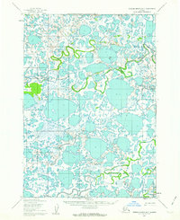
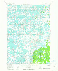
The water-dominated landscape of the Yukon-Kuskokwim Delta takes center stage in this mid-century survey, where the Kvichak River and the Pikmiktalik River meander through an intricate network of wetlands. Photogrammetric methods used by the Army Map Service in the early 1950s reveal a terrain defined by hundreds of unnamed lakes and marshy lowlands, reflecting the dynamic nature of the subarctic tundra before modern development. The mapping shows the complex braiding of the Kvichak River in the northwest, illustrating a wilderness shaped by seasonal freeze-and-thaw cycles and hydraulic shift. This artifact serves as a precise record of the regional hydrology as it existed during the post-war era of Alaskan territorial mapping, a period when field annotation by agencies like the USGS and Army Map Service was crucial for documenting these isolated river systems.
Find a feature on this map
2 named features on this map. Tap any name to fly to it.
Don’t see what you’re looking for? This feature index may not catch every label — zoom into the map to look around manually.
Map Details
Editions of this 1954 Russian Mission A-8 Map
This is the sole edition of this map. No revisions or reprints were ever made.
Other maps of this area

1947 · Russian Mission
USGS Topo · 1:250,000

1950 · Russian Mission
USGS Topo · 1:250,000

1950 · Bethel
USGS Topo · 1:250,000

1951 · Marshall
USGS Topo · 1:250,000

1951 · Baird Inlet
USGS Topo · 1:250,000
1952 · Russian Mission B-7
USGS Topo · 1:63,360

1952 · Russian Mission B-8
USGS Topo · 1:63,360
1954 · Russian Mission A-7
USGS Topo · 1:63,360

1954 · Marshall A-1
USGS Topo · 1:63,360

1954 · Bethel D-8
USGS Topo · 1:63,360