
1954 Map of Marshall A-3
USGS Topo · Published 1964About this map
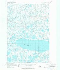
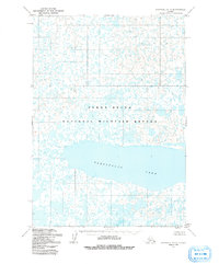
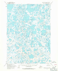
Takslesluk Lake dominates this 1954 topographic record, which captures an area of immense hydrological complexity. The landscape is defined by an intricate network of hundreds of unnamed thaw lakes and interconnecting ponds, typical of the subarctic wetlands. While the map indicates no permanent settlements or roads, the detailed surveying of the shoreline and elevation contours of the basin provides an essential record for researchers studying the long-term evolution of the Alaskan tundra. The concentration of water bodies across the central and northern sections of the sheet suggests a low-lying, poorly drained environment where seasonal shifts in the water table would fundamentally alter the navigable terrain.
Find a feature on this map
1 named feature on this map. Tap any name to fly to it.
Don’t see what you’re looking for? This feature index may not catch every label — zoom into the map to look around manually.
Map Details
Editions of this 1954 Marshall A-3 Map
3 editions found
Other maps of this area

1951 · Marshall
USGS Topo · 1:250,000

1951 · Baird Inlet
USGS Topo · 1:250,000

1954 · Marshall B-4
USGS Topo · 1:63,360

1954 · Marshall B-3
USGS Topo · 1:63,360

1954 · Marshall A-2
USGS Topo · 1:63,360
1954 · Marshall B-2
USGS Topo · 1:63,360
1954 · Marshall A-4
USGS Topo · 1:63,360

1954 · Marshall
USGS Topo · 1:250,000

1954 · Baird Inlet
USGS Topo · 1:250,000
1954 · Baird Inlet D-3
USGS Topo · 1:63,360