
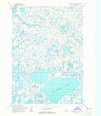
1954 Map of Marshall B-3
USGS Topo · Published 1964About this map
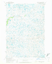
The Izaviknek River dominates this mid-century topographic record of the Yukon-Kuskokwim Delta region. Flowing through a landscape defined by an intricate network of countless unnamed tundra ponds and sloughs, the river follows a highly serpentine course across the southwestern Alaska terrain. This 1954 field-annotated survey, based on aerial photography from the early 1950s, reveals a wilderness environment before significant modern infrastructure. The hydrology shown here is typical of the vast alluvial plains between the Yukon and Kuskokwim rivers, where the River system creates a complex maze of water and wetlands that has historically served as a critical corridor for seasonal subsistence and travel.
Find a feature on this map
2 named features on this map. Tap any name to fly to it.
Don’t see what you’re looking for? This feature index may not catch every label — zoom into the map to look around manually.
Map Details
Editions of this 1954 Marshall B-3 Map
3 editions found
Other maps of this area

1951 · Marshall
USGS Topo · 1:250,000

1954 · Marshall B-4
USGS Topo · 1:63,360

1954 · Marshall C-3
USGS Topo · 1:63,360
1954 · Marshall C-2
USGS Topo · 1:63,360

1954 · Marshall A-2
USGS Topo · 1:63,360

1954 · Marshall A-3
USGS Topo · 1:63,360

1954 · Marshall C-4
USGS Topo · 1:63,360
1954 · Marshall B-2
USGS Topo · 1:63,360
1954 · Marshall A-4
USGS Topo · 1:63,360

1954 · Marshall
USGS Topo · 1:250,000