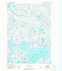
1954 Map of Marshall A-4
USGS Topo · Published 1965About this map
Puk Palik Lake dominates the southern landscape of this mid-century topographic survey, serving as a massive hydraulic anchor for a complex network of thousands of smaller tundra ponds and unnamed water bodies. This part of the Yukon-Kuskokwim Delta region shows the intricate, winding course of the Kaviknek R as it cuts through the northwest corner of the quadrangle. Mapped using photogrammetric methods from aerial photographs taken in 1951 and 1952, the map documents a transition period where land lines were predetermined by the Bureau of Land Management but remained largely unsurveyed and unmarked on the ground. The sheer density of these seasonal and permanent water features illustrates the challenging geography of the Alaskan wilderness before extensive modern development, providing a clear record of the natural drainage patterns and landforms that defined the area during the 1950s.
Find a feature on this map
2 named features on this map. Tap any name to fly to it.
Don’t see what you’re looking for? This feature index may not catch every label — zoom into the map to look around manually.
Map Details
Editions of this 1954 Marshall A-4 Map
2 editions found
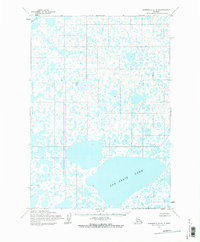
Other maps of this area

1951 · Marshall
USGS Topo · 1:250,000

1951 · Baird Inlet
USGS Topo · 1:250,000
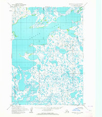
1953 · Marshall A-5
USGS Topo · 1:63,360

1953 · Marshall B-5
USGS Topo · 1:63,360

1953 · Baird Inlet D-5
USGS Topo · 1:63,360

1954 · Marshall B-4
USGS Topo · 1:63,360

1954 · Marshall B-3
USGS Topo · 1:63,360

1954 · Marshall A-3
USGS Topo · 1:63,360

1954 · Marshall
USGS Topo · 1:250,000

1954 · Baird Inlet
USGS Topo · 1:250,000