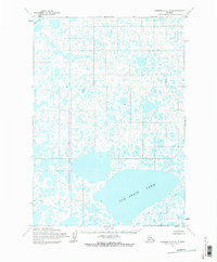
1954 Map of Marshall A-4
USGS Topo · Published 1983About this map
Puk Palik Lake dominates the southeastern quadrant of this mid-century landscape, surrounded by an intricate, unnamed network of smaller ponds and marshy depressions. This 1954 field-annotated study by the Army Map Service reveals the watery topography of the Yukon-Kuskokwim Delta region before the development of modern infrastructure. The Izaviknek R enters the frame in the northwest, winding through a terrain so saturated that no roads or trails were recorded by surveyors at the time. This map serves as a primary record of the natural drainage patterns and landforms as they were observed during aerial surveys in 1951 and 1952, providing a clear view of the area's geography before significant human alteration or contemporary environmental shifts.
Find a feature on this map
2 named features on this map. Tap any name to fly to it.
Don’t see what you’re looking for? This feature index may not catch every label — zoom into the map to look around manually.
Map Details
Editions of this 1954 Marshall A-4 Map
2 editions found
Other maps of this area

1951 · Marshall
USGS Topo · 1:250,000

1951 · Baird Inlet
USGS Topo · 1:250,000
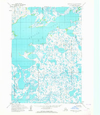
1953 · Marshall A-5
USGS Topo · 1:63,360

1953 · Marshall B-5
USGS Topo · 1:63,360

1953 · Baird Inlet D-5
USGS Topo · 1:63,360

1954 · Marshall B-4
USGS Topo · 1:63,360

1954 · Marshall B-3
USGS Topo · 1:63,360

1954 · Marshall A-3
USGS Topo · 1:63,360
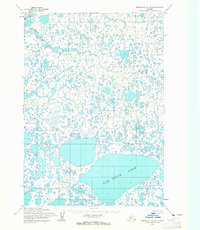
1954 · Marshall A-4
USGS Topo · 1:63,360

1954 · Marshall
USGS Topo · 1:250,000