
1954 Map of Marshall B-4
USGS Topo · Published 1964About this map
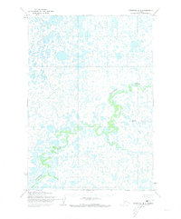
The Izaviknek River dominates this mid-century topographic survey of the Marshall B-4 quadrangle in western Alaska. Meandering in tight oxbows and complex loops, the river carves through a landscape saturated with hundreds of unnamed lakes, ponds, and marshy depressions. This intricate drainage pattern suggests a low-lying alluvial plain where the water table is extremely high and the land surface is constantly reshaped by seasonal flows. Surveyed by the Army Map Service using aerial photography from 1951, the map provides a stark look at the remote wilderness before modern development or significant infrastructure altered the natural hydrography of the region.
Find a feature on this map
1 named feature on this map. Tap any name to fly to it.
Don’t see what you’re looking for? This feature index may not catch every label — zoom into the map to look around manually.
Map Details
Editions of this 1954 Marshall B-4 Map
2 editions found
Other maps of this area

1951 · Marshall
USGS Topo · 1:250,000

1952 · Marshall C-5
USGS Topo · 1:63,360
1953 · Marshall A-5
USGS Topo · 1:63,360

1953 · Marshall B-5
USGS Topo · 1:63,360

1954 · Marshall C-3
USGS Topo · 1:63,360

1954 · Marshall B-3
USGS Topo · 1:63,360

1954 · Marshall A-3
USGS Topo · 1:63,360

1954 · Marshall C-4
USGS Topo · 1:63,360
1954 · Marshall A-4
USGS Topo · 1:63,360

1954 · Marshall
USGS Topo · 1:250,000