
1952 Map of Marshall C-5
USGS Topo · Published 1964About this map
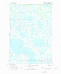
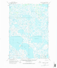
Kgun Lake dominates the lower third of this remote Alaskan landscape, representing a significant expanse of water in a region characterized by complex hydrologic networks. Compiled from 1951 aerial photography by the Army Map Service, the terrain is a labyrinth of unnamed ponds, sloughs, and marshlands. Surveyed points like Elevation 5 and Elevation 27 provide rare vertical benchmarks across the low-lying basin. The survey details the intricate township and range divisions, such as the intersection of Townships 17 and 18 North, in a period before widespread infrastructure reached this part of the Kusilvak region. The map serves as a primary record of the natural water drainage patterns and shoreline configurations as they existed in the early 1950s.
Find a feature on this map
9 named features on this map. Tap any name to fly to it.
Don’t see what you’re looking for? This feature index may not catch every label — zoom into the map to look around manually.
Map Details
Editions of this 1952 Marshall C-5 Map
3 editions found
Other maps of this area

1951 · Marshall
USGS Topo · 1:250,000

1952 · Marshall D-5
USGS Topo · 1:63,360

1952 · Marshall D-4
USGS Topo · 1:63,360

1952 · Marshall C-6
USGS Topo · 1:63,360

1952 · Marshall D-6
USGS Topo · 1:63,360

1953 · Marshall B-6
USGS Topo · 1:63,360

1953 · Marshall B-5
USGS Topo · 1:63,360

1954 · Marshall B-4
USGS Topo · 1:63,360

1954 · Marshall C-4
USGS Topo · 1:63,360

1954 · Marshall
USGS Topo · 1:250,000