
1952 Map of Marshall C-6
USGS Topo · Published 1964About this map
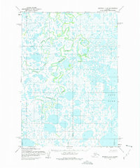
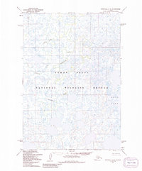
The Seward Meridian in the Alaskan interior reveals a complex aquatic landscape in this 1952 study, dominated by the expansive Kukun Lake. This subarctic environment is characterized by an intricate network of unnamed oxbows, meanders, and interconnected water bodies that reflect a highly dynamic hydrologic system. These features were predetermined by the Bureau of Land Management and photogrammetrically mapped from aerial photographs taken during the early 1950s. The absence of roads or established trails throughout the quadrangle highlights the isolation of this region in the mid-20th century. Local historians and geographers may find interest in the precise drainage patterns and land lines that mark this unsurveyed portion of the Marshall (C-6) area.
Find a feature on this map
1 named feature on this map. Tap any name to fly to it.
Don’t see what you’re looking for? This feature index may not catch every label — zoom into the map to look around manually.
Map Details
Editions of this 1952 Marshall C-6 Map
3 editions found
Other maps of this area

1951 · Marshall
USGS Topo · 1:250,000

1952 · Marshall D-5
USGS Topo · 1:63,360

1952 · Marshall C-7
USGS Topo · 1:63,360

1952 · Marshall C-5
USGS Topo · 1:63,360
1952 · Marshall D-7
USGS Topo · 1:63,360

1952 · Marshall D-6
USGS Topo · 1:63,360

1953 · Marshall B-6
USGS Topo · 1:63,360

1953 · Marshall B-7
USGS Topo · 1:63,360

1953 · Marshall B-5
USGS Topo · 1:63,360

1954 · Marshall
USGS Topo · 1:250,000