
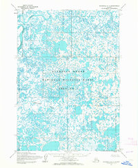
1953 Map of Marshall B-7
USGS Topo · Published 1964About this map
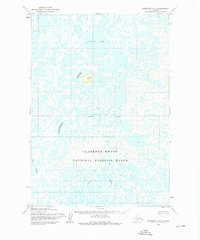
Clarence Rhode National Wildlife Range Area No 1 dominates this 1953 landscape, preserving a vast expanse of the Yukon-Kuskokwim Delta. The terrain is a complex network of thousands of small lakes and winding waterways, where land and water merge into a mosaic of wetlands. The Manokinak River and Azun River meander through the southern portion of the quadrangle, illustrating the fluid nature of the delta as it shifts across the tundra. An Indefinite Boundary underscores the difficulty of mapping such a saturated, ever-changing environment during the early 1950s. This survey, compiled from aerial photographs taken in 1951 and 1952, offers a detailed view of the hydrologic patterns before many of these wildlife areas were reorganized and renamed.
Find a feature on this map
4 named features on this map. Tap any name to fly to it.
Don’t see what you’re looking for? This feature index may not catch every label — zoom into the map to look around manually.
Map Details
Editions of this 1953 Marshall B-7 Map
2 editions found
Other maps of this area

1951 · Marshall
USGS Topo · 1:250,000

1952 · Marshall C-7
USGS Topo · 1:63,360

1952 · Marshall C-6
USGS Topo · 1:63,360
1952 · Marshall C-8
USGS Topo · 1:63,360
1953 · Marshall B-8
USGS Topo · 1:63,360

1953 · Marshall B-6
USGS Topo · 1:63,360
1954 · Marshall A-8
USGS Topo · 1:63,360

1954 · Marshall A-6
USGS Topo · 1:63,360
1954 · Marshall A-7
USGS Topo · 1:63,360

1954 · Marshall
USGS Topo · 1:250,000