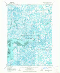
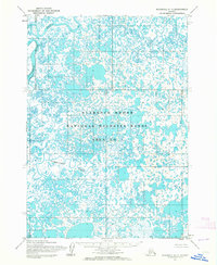
1954 Map of Marshall A-8
USGS Topo · Published 1964About this map
The Clarence Rhode National Wildlife Range Area No 1 dominates this mid-century topographic survey of the Yukon-Kuskokwim Delta. This map reveals an intricate hydrological network where the Manokinak River and the meandering Azun River weave through a landscape defined by water and shifting sediments. The lack of man-made structures or settlements highlights the isolation of this region during the 1950s, focusing instead on the complex natural geography of the Anerkochik River and Narokachik River. Large deposits of Sand and Mud are noted along the riverbanks, illustrating the active alluvial processes at work near the Kealavik River. This 1954 data, compiled from aerial photography, captures the delta's pristine state before modern administrative changes or infrastructure reached these remote coastal wetlands.
Find a feature on this map
7 named features on this map. Tap any name to fly to it.
Don’t see what you’re looking for? This feature index may not catch every label — zoom into the map to look around manually.
Map Details
Editions of this 1954 Marshall A-8 Map
2 editions found
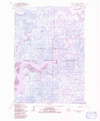
Other maps of this area

1951 · Marshall
USGS Topo · 1:250,000

1951 · Hooper Bay
USGS Topo · 1:250,000

1951 · Nunivak Island
USGS Topo · 1:250,000

1951 · Baird Inlet
USGS Topo · 1:250,000

1953 · Hooper Bay
USGS Topo · 1:250,000
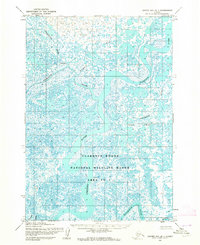
1953 · Hooper Bay B-1
USGS Topo · 1:63,360
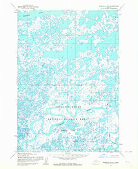
1953 · Marshall B-8
USGS Topo · 1:63,360

1953 · Marshall B-7
USGS Topo · 1:63,360

1954 · Nunivak Island
USGS Topo · 1:250,000
1954 · Marshall A-7
USGS Topo · 1:63,360