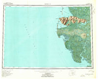
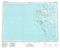
1953 Map of Hooper Bay
USGS Topo · Published 1963About this map
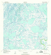
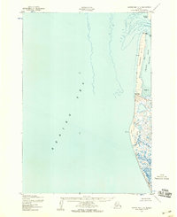
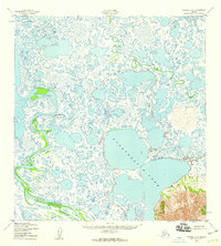
The coastal marshes and delta lands of the Bering Sea shoreline are captured here during the early 1950s. The settlement at Hooper Bay serves as a primary coastal hub, set against a landscape defined by an intricate network of tidal sloughs and rivers like the Kashunuk River and the Kokechik River. Rising abruptly from the surrounding lowlands, the As Kinuk Mountains provide a dramatic geographical anchor near Cape Romanzof, where the terrain shifts from flat tundra to prominent heights like Towak Mountain.
Find a feature on this map
48 named features on this map. Tap any name to fly to it.
Don’t see what you’re looking for? This feature index may not catch every label — zoom into the map to look around manually.
Map Details
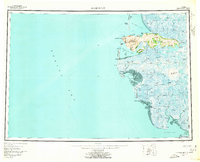
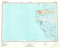
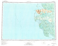
Editions of this 1953 Hooper Bay Map
5 editions found
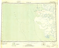
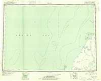
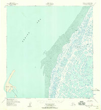
Other maps of this area

1951 · Marshall
USGS Topo · 1:250,000
1951 · Hooper Bay
USGS Topo · 1:250,000

1951 · Nunivak Island
USGS Topo · 1:250,000
1951 · Black
USGS Topo · 1:250,000

1951 · Baird Inlet
USGS Topo · 1:250,000

1952 · Kwiguk
USGS Topo · 1:250,000
1952 · Black A-2
USGS Topo · 1:63,360
1952 · Black A-1
USGS Topo · 1:63,360
1952 · Hooper Bay C-4
USGS Topo · 1:63,360
1952 · Kwiguk A-6
USGS Topo · 1:63,360