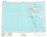
1953 Map of Hooper Bay
USGS Topo · Published 1972About this map
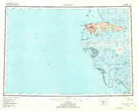
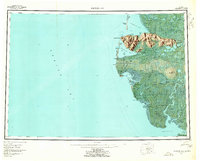
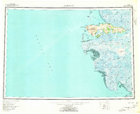
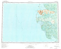
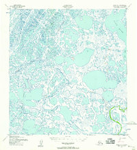
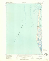
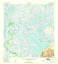
Askinuk Mountains rise sharply above the vast coastal wetlands of Western Alaska, providing a rare topographic contrast to the surrounding tundra and silty tidal flats. This mid-century survey documents the traditional village sites of Hooper Bay and Scammon Bay along the Bering Sea coastline, alongside inland settlements like Chevak and Old Chevak. The landscape is defined by an intricate network of water, from the winding Kashunuk River to the broad expanses of Hazen Bay and Angyoyaravak Bay. These waterways, including the Nuok Spit and Panowat Spit, serve as critical navigation points for the region. The map also delineates the Clarence Rhode National Wildlife Range Area No 1, reflecting early federal conservation efforts in this remote subarctic environment where the Winter Trail provided the primary overland connection between distant points.
Find a feature on this map
50 named features on this map. Tap any name to fly to it.
Don’t see what you’re looking for? This feature index may not catch every label — zoom into the map to look around manually.
Map Details
Editions of this 1953 Hooper Bay Map
5 editions found
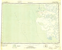
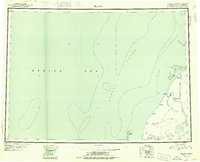
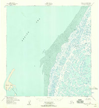
Other maps of this area

1951 · Marshall
USGS Topo · 1:250,000
1951 · Hooper Bay
USGS Topo · 1:250,000

1951 · Nunivak Island
USGS Topo · 1:250,000
1951 · Black
USGS Topo · 1:250,000

1951 · Baird Inlet
USGS Topo · 1:250,000

1952 · Kwiguk
USGS Topo · 1:250,000
1952 · Black A-2
USGS Topo · 1:63,360
1952 · Black A-1
USGS Topo · 1:63,360
1952 · Hooper Bay C-4
USGS Topo · 1:63,360
1952 · Kwiguk A-6
USGS Topo · 1:63,360