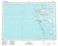
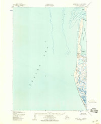
1953 Map of Hooper Bay
USGS Topo · Published 1986About this map
The Askinuk Mountains dominate the coastal topography of this western Alaska region, rising sharply above the complex estuarine environment of the Yukon Delta National Wildlife Refuge. The map details a landscape defined by seasonal movement and water, featuring prominent coastal markers like Cape Romanzof and Panowat Spit. Inland, the settlement of Chevak and the recorded location of Old Chevak (Site) reflect the shifting nature of habitation along the intricate river systems.
Find a feature on this map
56 named features on this map. Tap any name to fly to it.
Don’t see what you’re looking for? This feature index may not catch every label — zoom into the map to look around manually.
Map Details
Editions of this 1953 Hooper Bay Map
5 editions found

Other maps of this area

1951 · Marshall
USGS Topo · 1:250,000

1951 · Hooper Bay
USGS Topo · 1:250,000

1951 · Nunivak Island
USGS Topo · 1:250,000

1951 · Black
USGS Topo · 1:250,000

1951 · Baird Inlet
USGS Topo · 1:250,000

1952 · Kwiguk
USGS Topo · 1:250,000

1952 · Black A-2
USGS Topo · 1:63,360

1952 · Black A-1
USGS Topo · 1:63,360
1952 · Hooper Bay C-4
USGS Topo · 1:63,360

1952 · Kwiguk A-6
USGS Topo · 1:63,360