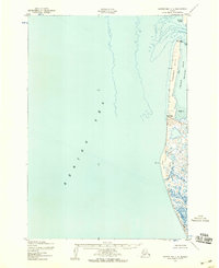
1952 Map of Hooper Bay C-4
USGS Topo · Published 1959About this map
Panowat Spit and the adjacent waters of the Bering Sea define this coastal landscape, which was recorded during early-1950s aerial photography. The coastline is characterized by dynamic shifting sands, with dunes and Nyok Spit protecting a network of inland tidal features. Most notable among these is the Manayagvik Slough, which weaves through a low-lying area of sand and mud. The map provides specific maritime and navigational markers including a wreck located just off the western shore of the spit. At the northern edge, Aniktun Island and the mouth of Igiak Bay illustrate the complex transition between the open sea and the protected coastal inlets. This survey captures the region prior to significant modern changes, documenting the precise locations of geodetic markers like VABM Kokechik North Base and VABM Kokechik South Base.
Find a feature on this map
13 named features on this map. Tap any name to fly to it.
Don’t see what you’re looking for? This feature index may not catch every label — zoom into the map to look around manually.
Map Details
Editions of this 1952 Hooper Bay C-4 Map
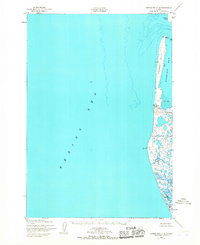
2 editions found
Other maps of this area

1951 · Hooper Bay
USGS Topo · 1:250,000
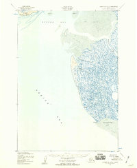
1952 · Hooper Bay B-3
USGS Topo · 1:63,360

1952 · Hooper Bay C-3
USGS Topo · 1:63,360

1953 · Hooper Bay
USGS Topo · 1:250,000
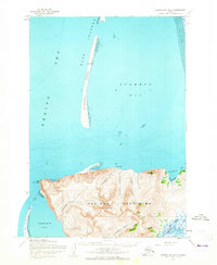
1953 · Hooper Bay D-3
USGS Topo · 1:63,360

1964 · Hooper Bay
USGS Topo · 1:250,000
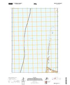
2020 · Hooper Bay C-4 NE
USGS Topo · 1:25,000
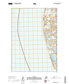
2020 · Hooper Bay C-4 SE
USGS Topo · 1:25,000
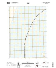
2020 · Hooper Bay D-3 OE W SE
USGS Topo · 1:25,000
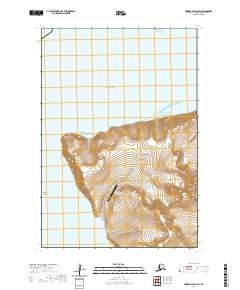
2020 · Hooper Bay D-3 SW
USGS Topo · 1:25,000