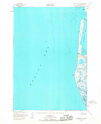
1952 Map of Hooper Bay C-4
USGS Topo · Published 1967About this map
Panowat Spit and its narrow barrier sands define the western edge of Kokechik Bay in this mid-century coastal survey. The terrain is dominated by shifting maritime features, including the dunes at Dall Pt and the seasonal dynamics of Manayagayik Slough. A notable maritime hazard is marked by a Wreck located off the northern portion of the spit, just south of Aniktun Island. This map captures the remote Yukon-Kuskokwim Delta region before modern infrastructure, where the Bering Sea continuously reshapes the coastline. The presence of triangulation stations like VABM Kokechik North Base indicates the early scientific efforts to precisely map this transitional aquatic environment. The southern reach is characterized by Nuok Spit, illustrating the complex network of sand and mud flats that served as the primary geography for local transit and subsistence.
Find a feature on this map
17 named features on this map. Tap any name to fly to it.
Don’t see what you’re looking for? This feature index may not catch every label — zoom into the map to look around manually.
Map Details
Editions of this 1952 Hooper Bay C-4 Map
2 editions found
Other maps of this area

1951 · Hooper Bay
USGS Topo · 1:250,000
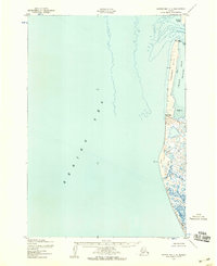
1952 · Hooper Bay C-4
USGS Topo · 1:63,360
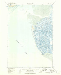
1952 · Hooper Bay B-3
USGS Topo · 1:63,360

1952 · Hooper Bay C-3
USGS Topo · 1:63,360

1953 · Hooper Bay
USGS Topo · 1:250,000
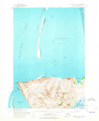
1953 · Hooper Bay D-3
USGS Topo · 1:63,360

1964 · Hooper Bay
USGS Topo · 1:250,000
2020 · Hooper Bay C-4 NE
USGS Topo · 1:25,000
2020 · Hooper Bay C-4 SE
USGS Topo · 1:25,000
2020 · Hooper Bay D-3 OE W SE
USGS Topo · 1:25,000