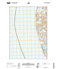
2020 Map of Hooper Bay C-4 SE
USGS Topo · Published 2020About this map
Hooper Bay sits at the edge of the Bering Sea, representing a critical hub for travel and transport in the Kusilvak Census Area. This coastal landscape is defined by the shifting interface of water and land, where the tidal influence of Manayagavik Slough meanders through the wetlands north of the village. The presence of the Hooper Bay Airport underscores the settlement's reliance on aviation for connectivity in a region without a conventional road network. To the south, Nuok Spit extends into the sea, while Dall Point marks a prominent geographic bend in the shoreline to the north. The map illustrates the concentration of community infrastructure within the village proper, contrasting with the expansive, water-saturated terrain that surrounds it.
Find a feature on this map
9 named features on this map. Tap any name to fly to it.
Don’t see what you’re looking for? This feature index may not catch every label — zoom into the map to look around manually.
Map Details
Editions of this 2020 Hooper Bay C-4 SE Map
This is the sole edition of this map. No revisions or reprints were ever made.
Other maps of this area

1951 · Hooper Bay
USGS Topo · 1:250,000
1952 · Hooper Bay C-4
USGS Topo · 1:63,360
1952 · Hooper Bay B-3
USGS Topo · 1:63,360

1952 · Hooper Bay C-3
USGS Topo · 1:63,360

1953 · Hooper Bay
USGS Topo · 1:250,000

1964 · Hooper Bay
USGS Topo · 1:250,000
2020 · Hooper Bay C-4 NE
USGS Topo · 1:25,000
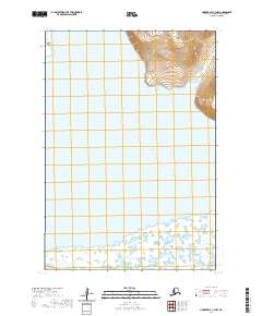
2020 · Hooper Bay C-3 NW
USGS Topo · 1:25,000
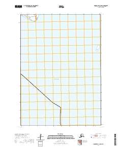
2020 · Hooper Bay B-3 NW
USGS Topo · 1:25,000
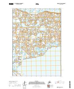
2020 · Hooper Bay C-3 SW
USGS Topo · 1:25,000