2020 Map of Hooper Bay C-3 NW
USGS Topo · Published 2020About this map
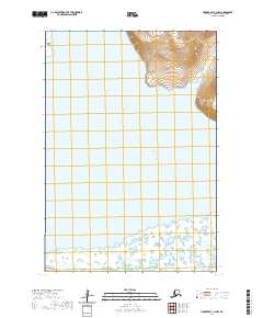
Askinuk Mountains dominate the northeastern corner of this coastal Alaska landscape, rising sharply above the expansive wetlands and tidal reaches of Kokechik Bay. This 2020 survey illustrates the dynamic transition from high ground to the intricate drainage patterns of the Ekashluak t u l i River as it winds toward the coast. The terrain is characterized by a complex network of small lakes and marshlands that define the Kusilvak Census Area's shoreline. West of the mainland, Aniktun Island sits in the open waters of the bay, marking a significant geographic feature of this remote coastal reach. The map provides a precise record of the natural topography and hydrography within the t19n r93w and t19n r92w townships.
Find a feature on this map
8 named features on this map. Tap any name to fly to it.
Don’t see what you’re looking for? This feature index may not catch every label — zoom into the map to look around manually.
Map Details
Editions of this 2020 Hooper Bay C-3 NW Map
This is the sole edition of this map. No revisions or reprints were ever made.
Other maps of this area

1951 · Hooper Bay
USGS Topo · 1:250,000
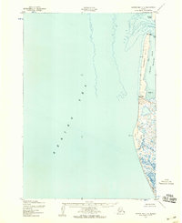
1952 · Hooper Bay C-4
USGS Topo · 1:63,360

1952 · Hooper Bay C-3
USGS Topo · 1:63,360

1953 · Hooper Bay
USGS Topo · 1:250,000
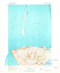
1953 · Hooper Bay D-3
USGS Topo · 1:63,360

1964 · Hooper Bay
USGS Topo · 1:250,000
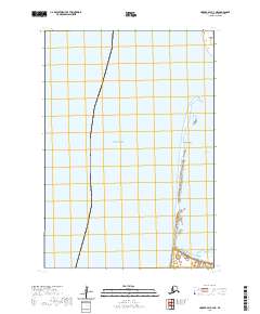
2020 · Hooper Bay C-4 NE
USGS Topo · 1:25,000
2020 · Hooper Bay C-4 SE
USGS Topo · 1:25,000
2020 · Hooper Bay D-3 OE W SE
USGS Topo · 1:25,000
2020 · Hooper Bay C-3 NE
USGS Topo · 1:25,000