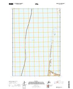
2020 Map of Hooper Bay C-4 NE
USGS Topo · Published 2020About this map
Panowat Spit and the coastal waters of the Bering Sea define this remote section of the Kusilvak Census Area. This coastal landscape is dominated by the dynamic interaction between the sea and the shoreline, featuring Aniktun Island to the north and the entrance to Kokechik Bay. The map provides a detailed view of these low-lying maritime features at a scale of 1:25,000, illustrating the complex wetland systems and seasonal drainage patterns typical of the Alaskan coast. The absence of roads or permanent settlements highlights the wilderness character of the region, where the Public Land Survey System grids t19n r93w and t18n r93w provide the primary framework for navigation and legal description.
Find a feature on this map
6 named features on this map. Tap any name to fly to it.
Don’t see what you’re looking for? This feature index may not catch every label — zoom into the map to look around manually.
Map Details
Editions of this 2020 Hooper Bay C-4 NE Map
This is the sole edition of this map. No revisions or reprints were ever made.
Other maps of this area

1951 · Hooper Bay
USGS Topo · 1:250,000
1952 · Hooper Bay C-4
USGS Topo · 1:63,360

1952 · Hooper Bay C-3
USGS Topo · 1:63,360

1953 · Hooper Bay
USGS Topo · 1:250,000
1953 · Hooper Bay D-3
USGS Topo · 1:63,360

1964 · Hooper Bay
USGS Topo · 1:250,000
2020 · Hooper Bay C-4 SE
USGS Topo · 1:25,000
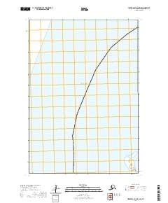
2020 · Hooper Bay D-3 OE W SE
USGS Topo · 1:25,000
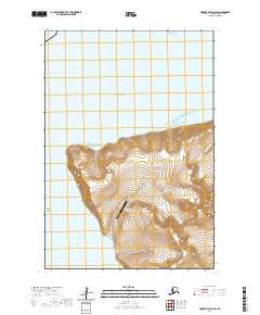
2020 · Hooper Bay D-3 SW
USGS Topo · 1:25,000
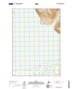
2020 · Hooper Bay C-3 NW
USGS Topo · 1:25,000