
1952 Map of Hooper Bay C-3
USGS Topo · Published 1959About this map
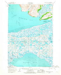
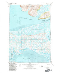
The settlement of Hooper Bay sits on the edge of a massive expanse of tidal flats and labyrinthine waterways in this mid-century coastal survey. To the north, the Askinuk Mountains and Kikuktok Mtn rise sharply above the lowlands, providing a stark geographic contrast to the water-saturated delta. The small community of Paimiut is positioned near the Kokechik River where it meets Igiak Bay, accompanied by a nearby Cabin and a local cemetery site.
Find a feature on this map
26 named features on this map. Tap any name to fly to it.
Don’t see what you’re looking for? This feature index may not catch every label — zoom into the map to look around manually.
Map Details
Editions of this 1952 Hooper Bay C-3 Map
3 editions found
Other maps of this area

1951 · Hooper Bay
USGS Topo · 1:250,000
1952 · Hooper Bay C-4
USGS Topo · 1:63,360
1952 · Hooper Bay B-3
USGS Topo · 1:63,360

1952 · Hooper Bay D-2
USGS Topo · 1:63,360

1953 · Hooper Bay
USGS Topo · 1:250,000
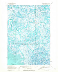
1953 · Hooper Bay B-2
USGS Topo · 1:63,360

1953 · Hooper Bay C-2
USGS Topo · 1:63,360
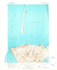
1953 · Hooper Bay D-3
USGS Topo · 1:63,360

1964 · Hooper Bay
USGS Topo · 1:250,000
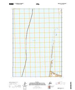
2020 · Hooper Bay C-4 NE
USGS Topo · 1:25,000