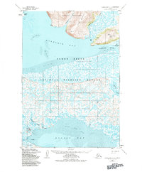
1952 Map of Hooper Bay C-3
USGS Topo · Published 1984About this map
Hooper Bay and the surrounding coastal tundra of the Yukon Delta National Wildlife Refuge are meticulously detailed in this early 1950s survey. The landscape is defined by the complex water systems of the delta, including the Naparenjak Slough, Komolak Slough, and the Kokechik River. Human presence is concentrated near the coast at the Hooper Bay settlement, where a Cem and a system of Stakes mark the developed shoreline near Nuok Spit.
Find a feature on this map
22 named features on this map. Tap any name to fly to it.
Don’t see what you’re looking for? This feature index may not catch every label — zoom into the map to look around manually.
Map Details
Editions of this 1952 Hooper Bay C-3 Map
3 editions found
Other maps of this area

1951 · Hooper Bay
USGS Topo · 1:250,000
1952 · Hooper Bay C-4
USGS Topo · 1:63,360
1952 · Hooper Bay B-3
USGS Topo · 1:63,360

1952 · Hooper Bay C-3
USGS Topo · 1:63,360

1952 · Hooper Bay D-2
USGS Topo · 1:63,360

1953 · Hooper Bay
USGS Topo · 1:250,000
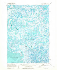
1953 · Hooper Bay B-2
USGS Topo · 1:63,360

1953 · Hooper Bay C-2
USGS Topo · 1:63,360
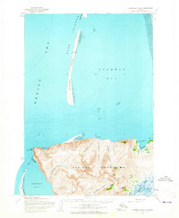
1953 · Hooper Bay D-3
USGS Topo · 1:63,360

1964 · Hooper Bay
USGS Topo · 1:250,000