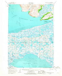
1952 Map of Hooper Bay C-3
USGS Topo · Published 1967About this map
The coastal village of Hooper Bay and its surrounding wetlands dominate this 1952 topographic study of the Yukon-Kuskokwim Delta. To the north, the Askinuk Mountains rise sharply above the mudflats of Kokechik Bay, providing a stark contrast to the low-lying tundra that characterizes most of the quadrangle. Small settlements and temporary encampments like Paimiut and the Igiak Site are situated near vital waterways, including the Ekasluktuli River and Lithkealik River. The landscape is a dense network of tidal sloughs such as Komolarak Slough and Naparea-yak Slough, which were essential for seasonal travel and subsistence. Local landmarks like Kikuktok Mtn and Nuok Spit help define the boundary between the terrestrial tundra and the Bering Sea. This survey, based on early 1950s aerial photography, documents the area's geography before significant 20th-century shifts in shoreline and settlement patterns.
Find a feature on this map
20 named features on this map. Tap any name to fly to it.
Don’t see what you’re looking for? This feature index may not catch every label — zoom into the map to look around manually.
Map Details
Editions of this 1952 Hooper Bay C-3 Map
3 editions found
Other maps of this area

1951 · Hooper Bay
USGS Topo · 1:250,000
1952 · Hooper Bay C-4
USGS Topo · 1:63,360
1952 · Hooper Bay B-3
USGS Topo · 1:63,360

1952 · Hooper Bay C-3
USGS Topo · 1:63,360

1952 · Hooper Bay D-2
USGS Topo · 1:63,360

1953 · Hooper Bay
USGS Topo · 1:250,000
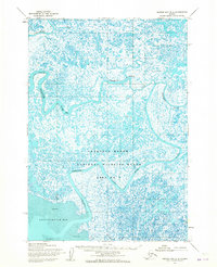
1953 · Hooper Bay B-2
USGS Topo · 1:63,360

1953 · Hooper Bay C-2
USGS Topo · 1:63,360
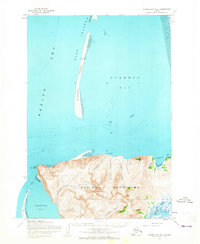
1953 · Hooper Bay D-3
USGS Topo · 1:63,360

1964 · Hooper Bay
USGS Topo · 1:250,000