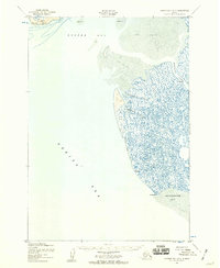
1952 Map of Hooper Bay B-3
USGS Topo · Published 1959About this map
Nuok Spit and a vast complex of coastal wetlands define this remote stretch of the Alaska coast in the early 1950s. The landscape is dominated by the intricate drainage of the Keoklevik River and several major tidal channels, including Painoroyun Slough and Issortulik Slough. These waterways cut through a transition zone of sand and mud flats that shift between Hooper Bay to the north and Angyoyaravak Bay to the south.
Find a feature on this map
14 named features on this map. Tap any name to fly to it.
Don’t see what you’re looking for? This feature index may not catch every label — zoom into the map to look around manually.
Map Details
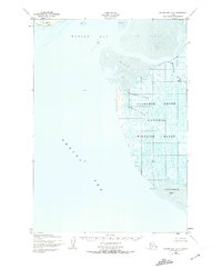
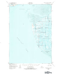
Editions of this 1952 Hooper Bay B-3 Map
3 editions found
Other maps of this area

1951 · Hooper Bay
USGS Topo · 1:250,000
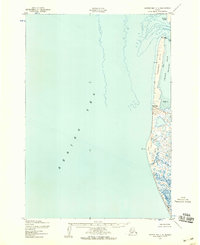
1952 · Hooper Bay C-4
USGS Topo · 1:63,360

1952 · Hooper Bay C-3
USGS Topo · 1:63,360
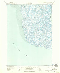
1952 · Hooper Bay A-2
USGS Topo · 1:63,360

1953 · Hooper Bay
USGS Topo · 1:250,000
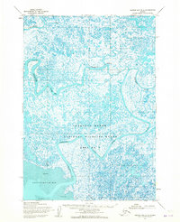
1953 · Hooper Bay B-2
USGS Topo · 1:63,360

1953 · Hooper Bay C-2
USGS Topo · 1:63,360

1964 · Hooper Bay
USGS Topo · 1:250,000
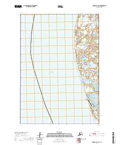
2020 · Hooper Bay C-4 SE
USGS Topo · 1:25,000
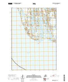
2020 · Hooper Bay B-3 SE
USGS Topo · 1:25,000