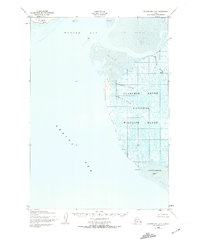
1952 Map of Hooper Bay B-3
USGS Topo · Published 1974About this map
The Clarence Rhode National Wildlife Range dominates this coastal survey, preserving a complex of wetlands and tidal flats along the Bering Sea. Mapped by the Army Map Service using aerial photography from the early 1950s, the landscape is defined by its shifting aquatic boundaries. The Keoklevik River and numerous waterways like Painorouyun Slough and Issortulik Slough wind through a terrain primarily composed of sand and mud. To the north, Nuok Spit and Hooper Bay mark the interface between the open sea and the marshy interior. This topography was crucial for understanding the migratory patterns and habitat of the Yukon-Kuskokwim Delta during the mid-twentieth century, as evidenced by surveyor benchmarks like VABM Flood and VABM Ditch.
Find a feature on this map
14 named features on this map. Tap any name to fly to it.
Don’t see what you’re looking for? This feature index may not catch every label — zoom into the map to look around manually.
Map Details
Editions of this 1952 Hooper Bay B-3 Map
3 editions found
Other maps of this area

1951 · Hooper Bay
USGS Topo · 1:250,000
1952 · Hooper Bay C-4
USGS Topo · 1:63,360
1952 · Hooper Bay B-3
USGS Topo · 1:63,360

1952 · Hooper Bay C-3
USGS Topo · 1:63,360
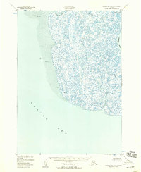
1952 · Hooper Bay A-2
USGS Topo · 1:63,360

1953 · Hooper Bay
USGS Topo · 1:250,000
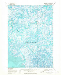
1953 · Hooper Bay B-2
USGS Topo · 1:63,360

1953 · Hooper Bay C-2
USGS Topo · 1:63,360

1964 · Hooper Bay
USGS Topo · 1:250,000
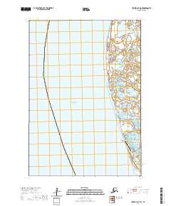
2020 · Hooper Bay C-4 SE
USGS Topo · 1:25,000