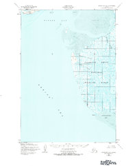
1952 Map of Hooper Bay B-3
USGS Topo · Published 1984About this map
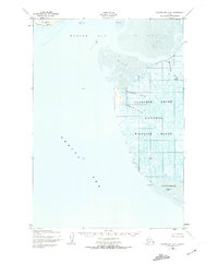
Clarence Rhode National Wildlife Range dominates this coastal Alaska landscape, which was mapped by the Army Map Service during the early 1950s using photogrammetric methods from aerial photography. The terrain is characterized by a complex network of waterways, including the meandering Keoklevik River and several tidal channels such as Painorouyun Slough and Issortulik Slough. These sloughs cut through an expanse of marshy ground, eventually opening into the Bering Sea.
Find a feature on this map
11 named features on this map. Tap any name to fly to it.
Don’t see what you’re looking for? This feature index may not catch every label — zoom into the map to look around manually.
Map Details
Editions of this 1952 Hooper Bay B-3 Map
3 editions found
Other maps of this area

1951 · Hooper Bay
USGS Topo · 1:250,000
1952 · Hooper Bay C-4
USGS Topo · 1:63,360
1952 · Hooper Bay B-3
USGS Topo · 1:63,360

1952 · Hooper Bay C-3
USGS Topo · 1:63,360
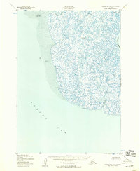
1952 · Hooper Bay A-2
USGS Topo · 1:63,360

1953 · Hooper Bay
USGS Topo · 1:250,000
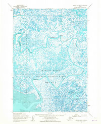
1953 · Hooper Bay B-2
USGS Topo · 1:63,360

1953 · Hooper Bay C-2
USGS Topo · 1:63,360

1964 · Hooper Bay
USGS Topo · 1:250,000
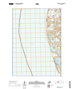
2020 · Hooper Bay C-4 SE
USGS Topo · 1:25,000