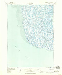
1952 Map of Hooper Bay A-2
USGS Topo · Published 1959About this map
The deltaic wetlands of the Bering Sea coast define this mid-century survey of the Kusilvak region. A complex network of tidal waterways and silty channels dominates the landscape, characterized by the winding course of the Kashunuk River and the Opagyarak River. The absence of roads or trails highlights the reliance on water transport and the seasonal cycles of the tundra during this era. Survey markers including VABM Drain, VABM Silver, and VABM Sally provide specific geographical reference points within the shifting Sand and Mud flats. To the north, the Tutakoke River and the Aphrewn River carve through the low-lying terrain, while Tungatuk Slough connects these interior waters to the coastal environment. The map offers a clear view of the hydrological patterns and shoreline conditions prior to modern climatic and geological shifts.
Find a feature on this map
12 named features on this map. Tap any name to fly to it.
Don’t see what you’re looking for? This feature index may not catch every label — zoom into the map to look around manually.
Map Details
Editions of this 1952 Hooper Bay A-2 Map
2 editions found
Other maps of this area

1951 · Hooper Bay
USGS Topo · 1:250,000

1951 · Nunivak Island
USGS Topo · 1:250,000
1952 · Hooper Bay B-3
USGS Topo · 1:63,360

1953 · Hooper Bay
USGS Topo · 1:250,000
1953 · Hooper Bay B-1
USGS Topo · 1:63,360
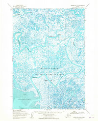
1953 · Hooper Bay B-2
USGS Topo · 1:63,360

1954 · Nunivak Island
USGS Topo · 1:250,000
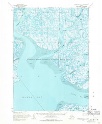
1954 · Hooper Bay A-1
USGS Topo · 1:63,360
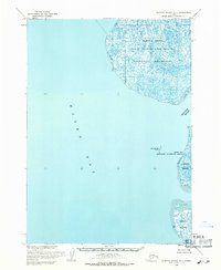
1954 · Nunivak Island D-1
USGS Topo · 1:63,360

1958 · Nunivak Island
USGS Topo · 1:250,000