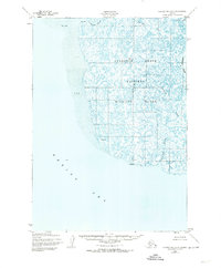
1952 Map of Hooper Bay A-2
USGS Topo · Published 1974About this map
The Clarence Rhode National Wildlife Range dominates this coastal landscape along the Bering Sea, as documented in the early 1950s. The region is defined by a complex labyrinth of tidal waterways and silty flats, where the Putakoke River and its namesake Tutakoke River branch wind through a vast expanse of Sand and Mud. This map, published by the U.S. Geological Survey using Army Map Service data, illustrates a wilderness devoid of roads or permanent settlements, relying instead on several vertical control points like VABM Silver and VABM Sally for orientation. To the east, the drainage networks of the Aphrewn River and Afrothluk River create a rhythmic pattern of sloughs and streams, such as Pungatuk Slough, that shift with the tides of the Opagyarak River.
Find a feature on this map
12 named features on this map. Tap any name to fly to it.
Don’t see what you’re looking for? This feature index may not catch every label — zoom into the map to look around manually.
Map Details
Editions of this 1952 Hooper Bay A-2 Map
2 editions found
Other maps of this area

1951 · Hooper Bay
USGS Topo · 1:250,000

1951 · Nunivak Island
USGS Topo · 1:250,000
1952 · Hooper Bay B-3
USGS Topo · 1:63,360
1952 · Hooper Bay A-2
USGS Topo · 1:63,360

1953 · Hooper Bay
USGS Topo · 1:250,000
1953 · Hooper Bay B-1
USGS Topo · 1:63,360
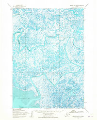
1953 · Hooper Bay B-2
USGS Topo · 1:63,360

1954 · Nunivak Island
USGS Topo · 1:250,000
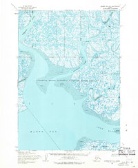
1954 · Hooper Bay A-1
USGS Topo · 1:63,360
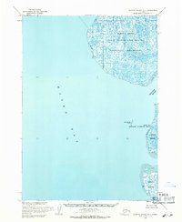
1954 · Nunivak Island D-1
USGS Topo · 1:63,360